|
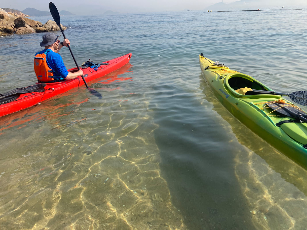
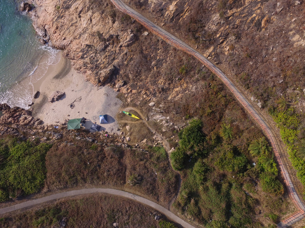
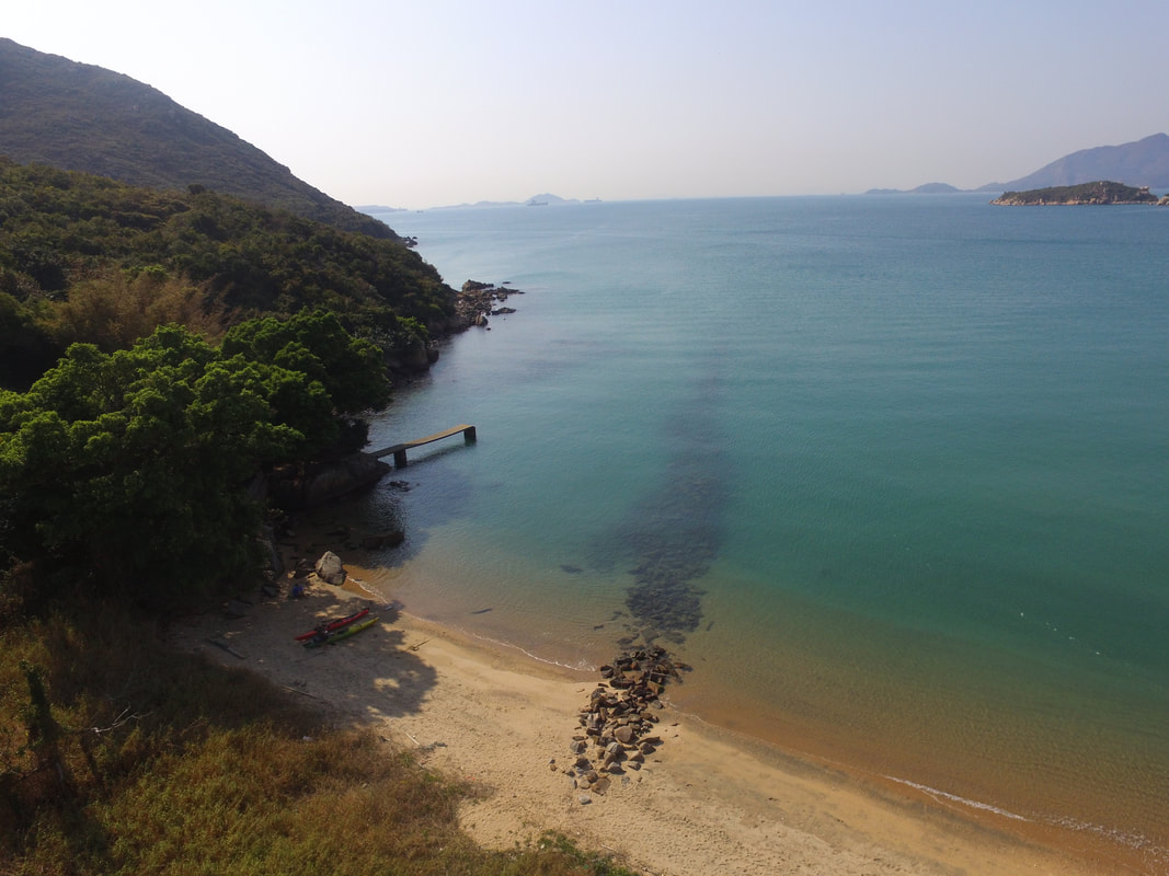
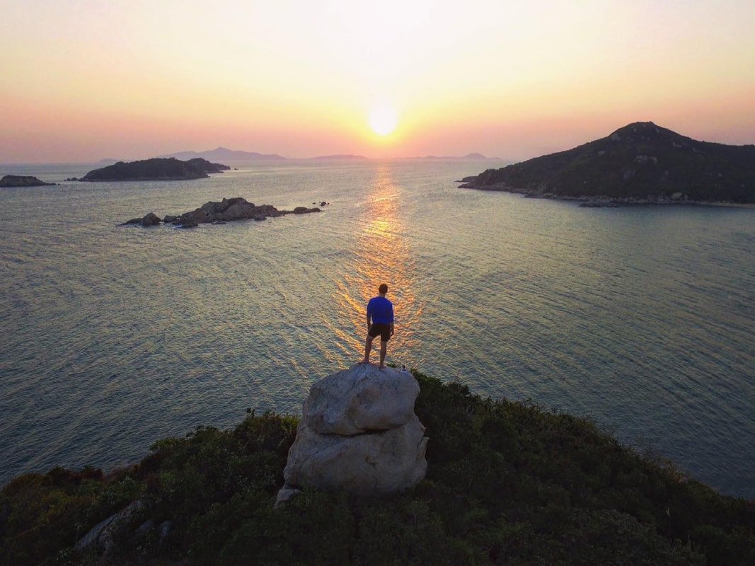
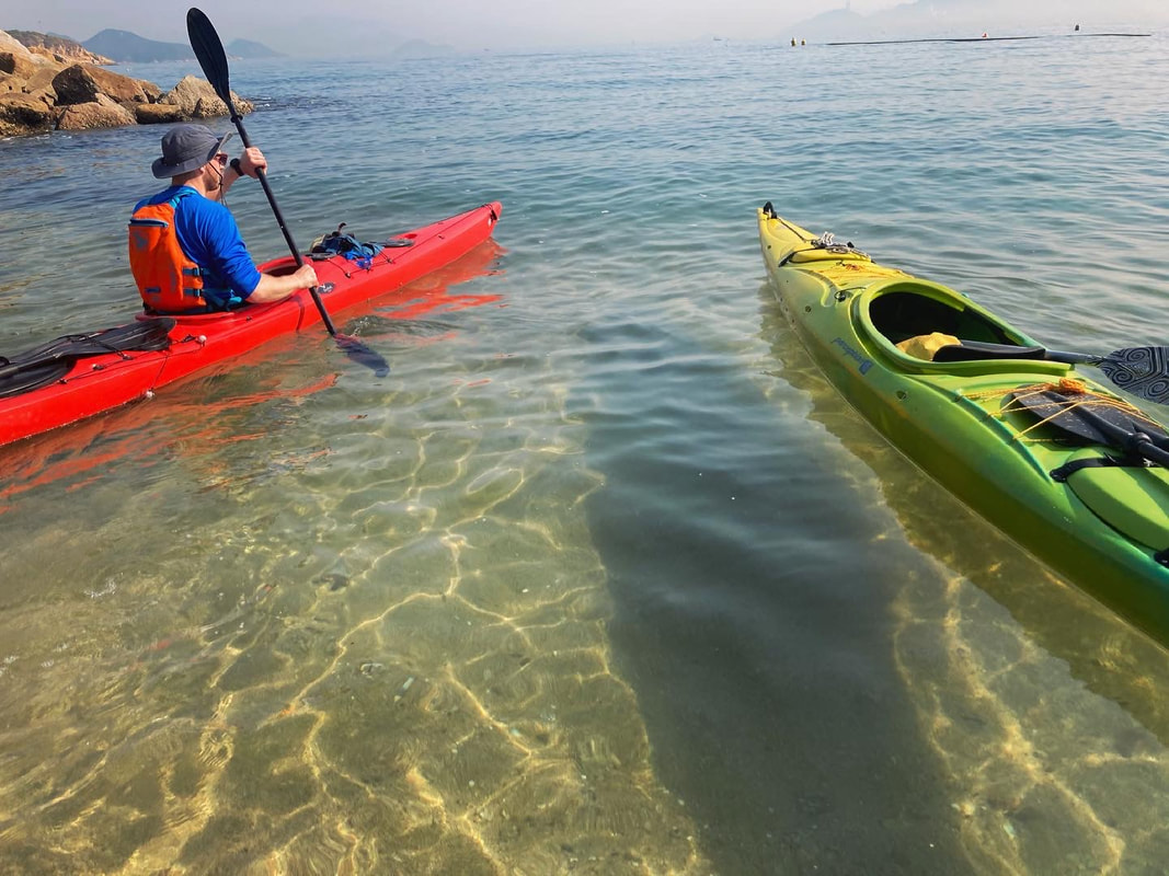
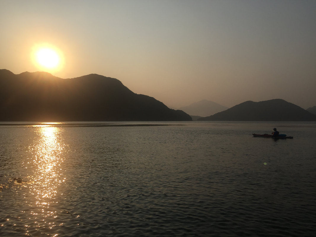
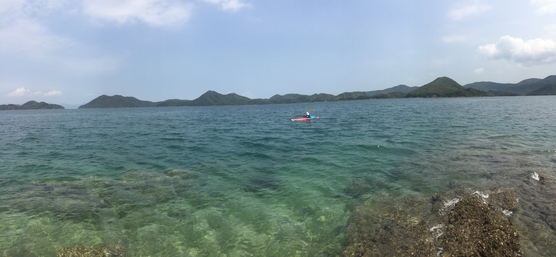
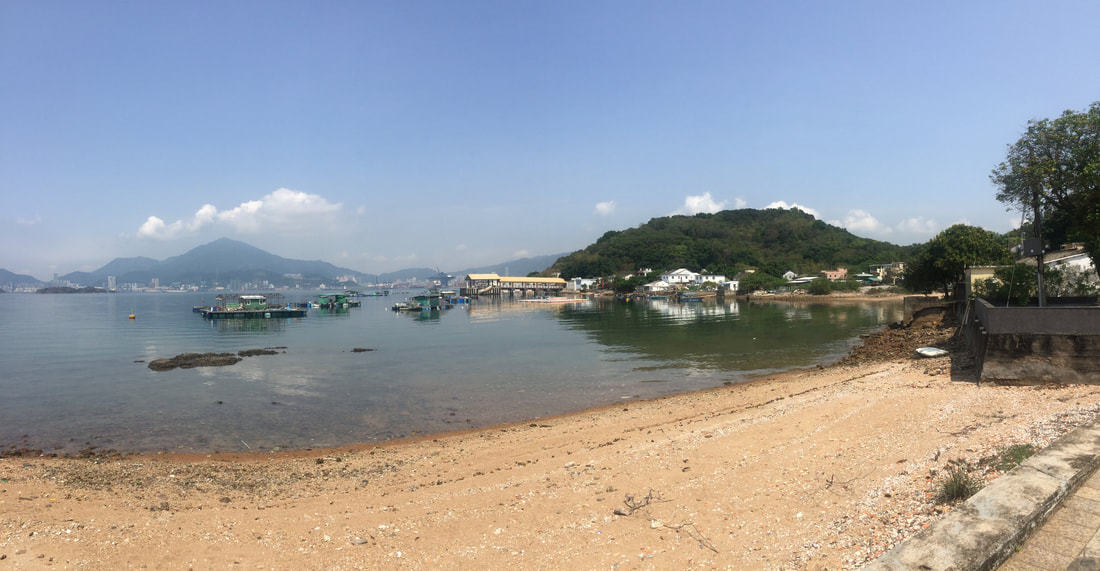
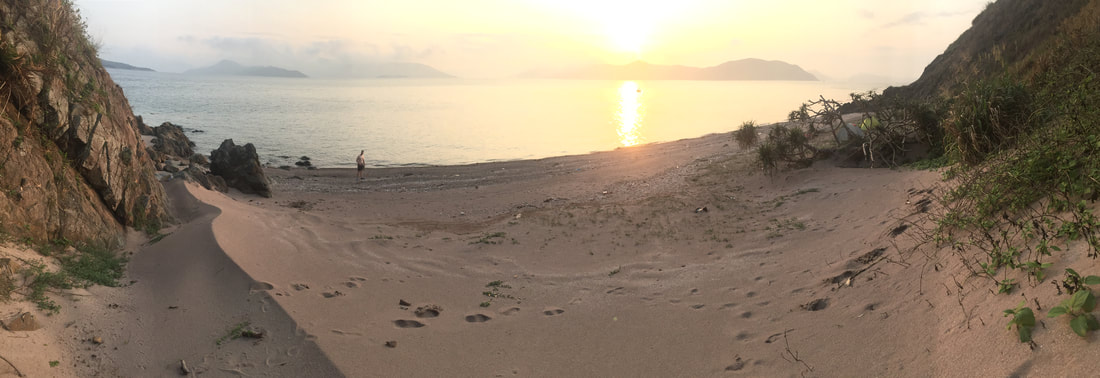
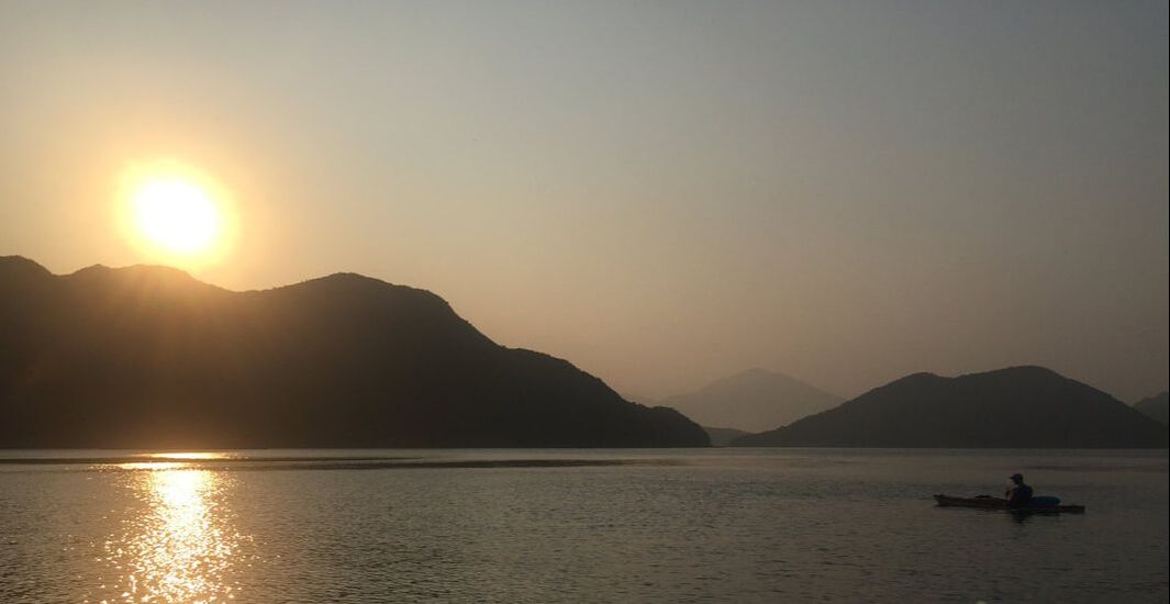
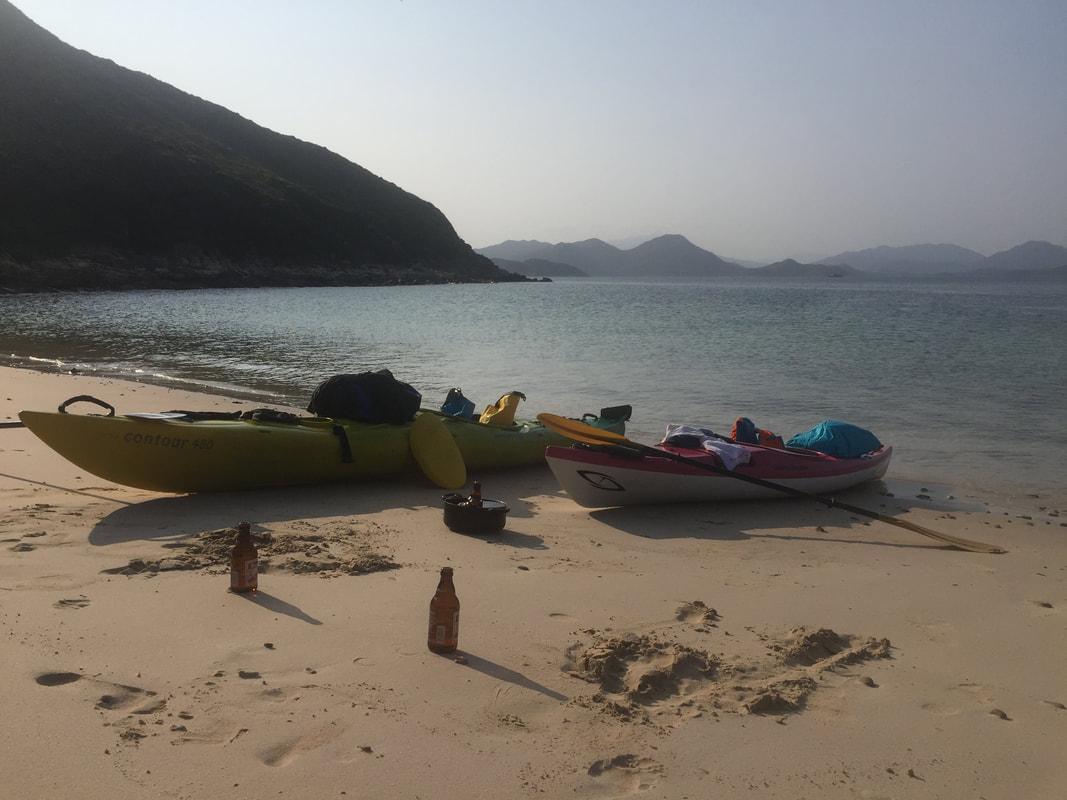
Kayaking around HK 🚣🏼♂️ 🇭🇰 - 260km around Hong Kong, paddling on the outside of all the outermost islands in an epic local adventure. 1st leg - 📌 Sai Kung to Lamma Island - Paddling from Sai Kung to the south, a night was spent camping under the stars on the rugged Ninepin archipelago. From the Ninepins lay an open stretch ahead, across a few easterly swells to Waglan and Po Toi where an afternoon was spent stretching the legs across the Islands’ many footpaths. 2nd leg - 📌 Lamma Island to Mai Po - Was an absolute pleasure to link up bright and early with DJ on the northern shores of Lamma Island and make a circumnavigation (i went about 90% of the way round) of his home Island together! Once at the power station we parted ways and I crossed in unusually serene sea conditions to Cheung Chau. After a comfortable stay overnight, I linked up with Mark with batteries charged and we made rapid progress reaching the Soko Islands with plenty of time to explore the area. Highlights being the abandoned Vietnamese refugee camp and most vivid bioluminescence I have ever witnessed. Winds picked up a bit over night providing a blustery crossing to South Lantau, home to freshwater pools and a big feed at Tai O. Paddling under the bridge to Macau we’d hoped to see pink dolphins, but without luck. This marked a turning point in our surroundings, which from then on became increasingly industrial as we approached and navigated through Shenzhen Bay. The finale of this leg could not have provided starker contrast, a majestic sunset paddle through the tranquil wetlands of Mai Po. 3rd leg - 📌 Luk Keng to Sai Kung - A return to solo paddling for the final leg set in motion a 2 day epic paddle; crossing Mirs Bay twice before rounding Sai Kung Peninsula to complete my loop around HK. The first task at hand was to transport the kayak across HK’s land border with China to Starling Inlet. Tranquil mangroves at Luk Keng soon emerge onto open waters and after crossing 30km over to Tung Ping Chau in light headwinds, I was in position to follow that up with a big paddle the following day. A northerly front swung through overnight and an early start helped to propel me homewards through increasingly tumultuous waters. 50km later, I was home and the trip was done 👍🏼
Info on DJ's series 'Drone & Phone'; https://www.droneandphone.com/ https://www.facebook.com/droneandphone/
Info on Mark's row across the Northwest Passage; https://nwpexpedition.com/ https://www.facebook.com/NWPexpedition Filmed by Rory Mackay & Jack Yao Produced by Rory Mackay #kayakingaroundhongkong #wildhongkong #kayaking #adventure #maipo #shachau #lantau #sokoislands #Cheungchau #lammaisland #winter #paddling #beach #hongkong #stunner #fun #hkiger #discoverhongkong #wild #vista #bliss #hk #wildhk #hkig #photooftheday #gopro #wanderlust #drone #lukkeng #tungpingchau #tailongwan #saikung #mirsbay #starlinginlet #ninepins #waglanisland #potoi
0 Comments
There are many spots in Hong Kong that can feel far removed from the city, but are in fact just round the corner or over the hill from town. Then, there are those rare spots that are genuinely far removed from civilization. The Southern waters off Lantau Island are such a locale. Within these waters lie a somewhat forgotten and neglected archipelago; the Soko Islands. A great option for intrepid day trippers, yet still family friendly, little about a visit to the Soko Islands is routine. As there are no scheduled boats you will need to arrange your own, however if you make the effort to venture to this remote area you will be rewarded with a trip back in time! An untarnished landscape bursting with pristine beaches and historical relics lies in wait. If not travelling on your own private boat or charter such as a junk, then (other than kayaking), the simplest way to reach the Sokos is via Cheung Chau. From Cheung Chau you can agree a fee with a local boat operator to drop off and pick up within one day. Incidentally if one wants to kayak there, kayaks can be rented from Cheung Chau too, but it is only advised for more experienced sea farers as you will cross exposed bodies of water. If in any doubt, arrange for a guide. There are 2 main islands that one would spend time ashore on here, Siu A Chau and Tai A Chau. Both have several stunning beaches to enjoy and a small pier that a smaller vessel can safely alight at. Up till the late 1970s, the Soko Islands were home to merely a couple dozen farming families, tending to small scale agriculture and fishing in order to survive. This all changed in the following decades as Tai A Chau became home to an ever-expanding refugee camp housing people fleeing the conflict in Vietnam. Although the Vietnam War came to an end, the ensuing issue of these refugees was never properly resolved. The Soko Island camp was gradually shut down by the government approaching the 1997 handover and inmates were transferred to camps elsewhere in Hong Kong. It’s absolutely incredible to see just over 25 years on, how little of the camp remains. For the most part, concrete foundations and not much else. But a closer look reveals smaller details of what once stood at the site of the camp. The Sokos are an incredible part of Hong Kong to explore. Any adventure here will leave you with great memories and a sound appreciation of the living standards most of us enjoy in that big city, just across the sea.
Sai Kung native Rory Mackay kayaked 250km around Hong Kong, paddling on the outside of all the outermost islands in an epic local adventure. Rory cast off from the shore just 20 metres in front of his house near Sai Kung, and kayaked in three legs; "Paddling from Sai Kung to the south, a night was spent camping under the stars on the rugged Ninepin archipelago. From the Ninepins lay an open stretch ahead, across a few easterly swells to Waglan and Po Toi where an afternoon was spent stretching the legs across the Islands’ many footpaths. Was an absolute pleasure to link up bright and early with an old friend called DJ on the northern shores of Lamma and make a circumnavigation (I went about 90% of the way round) of his home Island together! Once at the power station we parted ways and I crossed in unusually serene sea conditions to Cheung Chau. After a comfortable stay overnight, I linked up with another mate called Mark for the remainder of the second leg with batteries charged and we made rapid progress reaching the Soko Islands with plenty of time to explore the area. Highlights there being the abandoned Vietnamese refugee camp and most vivid bioluminescence I have ever witnessed. Winds picked up a bit over night providing a blustery crossing to South Lantau, home to freshwater pools and a big feed at Tai O. Paddling under the bridge to Macau we’d hoped to see pink dolphins, but without luck. This marked a turning point in our surroundings, which from then on became increasingly industrial as we approached and navigated through Shenzhen Bay. The finale of this leg could not have provided starker contrast, a majestic sunset paddle through the tranquil wetlands of Mai Po. A return to solo paddling for the final leg set in motion a 2 day epic paddle; crossing Mirs Bay twice before rounding Sai Kung Peninsula to complete my loop around HK. The first task at hand was to transport the kayak across HK’s land border with China to Starling Inlet. Tranquil mangroves at Luk Keng soon emerge onto open waters and after crossing 30km over to Tung Ping Chau in light headwinds, I was in position to follow that up with a big paddle the following day. A northerly front swung through overnight and an early start helped to propel me homewards through increasingly tumultuous waters. 50km later, I was home and the trip was done." To see more, you can also see the below article about this trip covered by the South China Morning Post; https://www.scmp.com/sport/outdoor/extreme-sports/article/3124652/kayaker-paddles-250km-around-outside-hong-kong-filling?utm_source=copy_link&utm_medium=share_widget&utm_campaign=3124652 If you fancy exploring a peaceful area that many folks don’t know about or overlook within Hong Kong, then a day trip out to Shing Mun Reservoir could be in order.
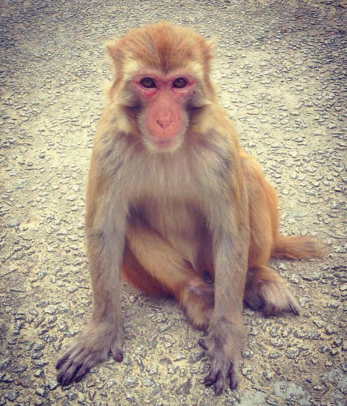
The simplest way in (other than driving) is to head over to Tsuen Wan MTR station and take exit B1. From the station it’s a five minute walk to the 82 green minibus, which will take you to Shing Mun Country Park terminating immediately below the grassy banks of Pineapple Dam. It is recommended you enjoy a meal or prepare food to bring with you before embarking on a visit, as there are no food vendors at the park other than a small kiosk at Pineapple Dam. Arriving at the Pineapple Dam bus stop, keep an eye out for some of the delightful wildlife on offer in HK, especially on the quieter weekdays. You could well be confronted by many monkeys, invariably a troop of Rhesus Macaques. Although the Rhesus species is native to Hong Kong, the macaques found today are believed to be re-introduced. During the construction of the Kowloon Reservoirs, the apes were deployed to the surrounding areas in order to combat the spread of a plant that tainted the water supply. They can roam in large numbers and enjoy the area around entrance areas, as the rubbish bins and increased human presence provides the chance of finding a meal. There are signs at the park entrance spelling out the dos and don’ts in regards to the monkeys. From experience, simply be relaxed. Don’t approach the monkeys with food and they will mind their own monkey business. Direct eye contact and sudden movements won’t endear you to them either. With those unpleasantries out of the way, the monkeys are great fun to observe and can be extremely photogenic! There are a couple of ways to negotiate Shing Mun; the simple way and the adventurous way.
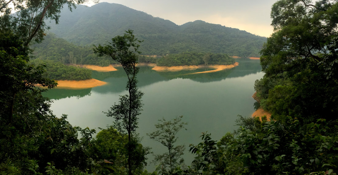
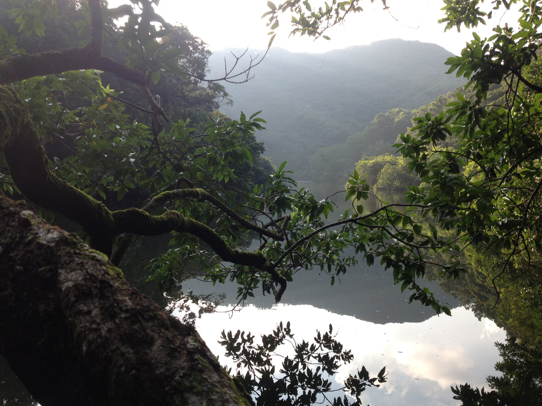
Every now and then, a gap in the foliage may reveal framed views of Tuen Wan, Kowloon and enjoy the iconic backdrop of HK Island behind on a clear day. Back at the reservoir, this final leg of any route you take is particularly pleasant, walking along a flat paved surface under large shady trees that cloak the water’s edge. It is most definitely worth it to have a breather down here, soak up the tranquil atmosphere and capture relaxing views across the water.
Heading back to Tuen Wan from the country park is equally simple as finding your way in. This discreetly tucked away corner of rural HK has an incredible amount on offer for those who enjoy venturing into the wild, escaping to Shing Mun provides a peaceful retreat at the doorstep of those wishing to find space for reflection or satisfy a burning urge of wanderlust.
Getting to the islands is not straight forward, but that is what makes it all the more alluring. The most common way to reach Double Heaven is by a ride on the ferry from Shau Tau Kok to Kat O, however as this falls within the Closed Border Area, an access permit is required. Alternatively, you can join a private island tour to charter a boat or get a water taxi from Wong Shek Pier. The number 94 and 96R KMB buses go to Wong Shek Pier (96R operates on weekends only). For the more intrepid, one can sail or kayak to the region and utilize many of the secluded anchorages the archipelago has to offer. The primary port of call for all that reach the 4 main islands of Double Heaven is the sleepy village of Kat O. Located on Crooked Island, it is the only major settlement of note in the area and one could easily spend the best part of an hour wondering the laneways; crumbling Hakka houses interspersed with shade yielding Banyans. Enjoy a waterfront stroll and keep an eye out for the three 19th century era cannons, aptly pointed northwards towards the large container port of Yantian. Often visible, this behemoth on the Chinese Mainland provides a compelling juxtaposition between the traditional ways of the Hakka people and the rise of Modern China across the waters. From Kat O, there are a few short hikes you can pursue across opposite ends of Crooked Island; the most worthwhile being a shorter trail leading Northeast across to a large sandy beach which has views across Mirs Bay. Make sure to indulge yourself with a decent meal and grab fluids in Kat O, as there are next to no such amenities anywhere else. If you have your own boat or kayak, then Kat O serves as a worthy port of call before venturing to more remote areas of the archipelago. For those who are not so fussed about the logistics of venturing offshore and are happy to get a taster for the area, another option is to visit the coastal portion of Double Heaven near Lai Chi Wo Village. One can reach Lai Chi Wo overland by hiking from Wu Kau Tang in Plover Cove Country Park (take green minibus no. 20R departing at Tai Po Market MTR station to Wu Kau Tang), or by taking a ferry (Sunday and Public Holidays only) from Sha Tin (Depart from Ma Liu Shui: 09:00am. Depart from Lai Chi Wo: 15:30pm. Fare: $50 single ticket, $80 return ticket). The hike from Wu Kau Tang takes you in an Easterly direction over a pass to reveal fantastic views over the entire Double Heaven area, before descending to the coast. Venturing further afield, there are many trails in Plover Cove Country park to choose from. If taking the ferry from Ma Liu Shui, enjoy the views of Tolo Harbour en route before rounding the headland to enter a new landscape of tranquil channels lined with red rocks (unique to this part of HK). Be sure to catch the final boat leaving the island for return to the mainland at 15:30pm, unless hiking back or camping overnight stay is more your cup of tea. Camping in HK can be an awesome experience; there are a few great options around Plover Cove Country Park, the ‘Sam A Chung’ campsite being the best situated of them.
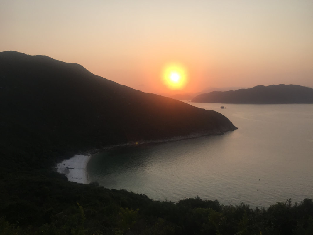
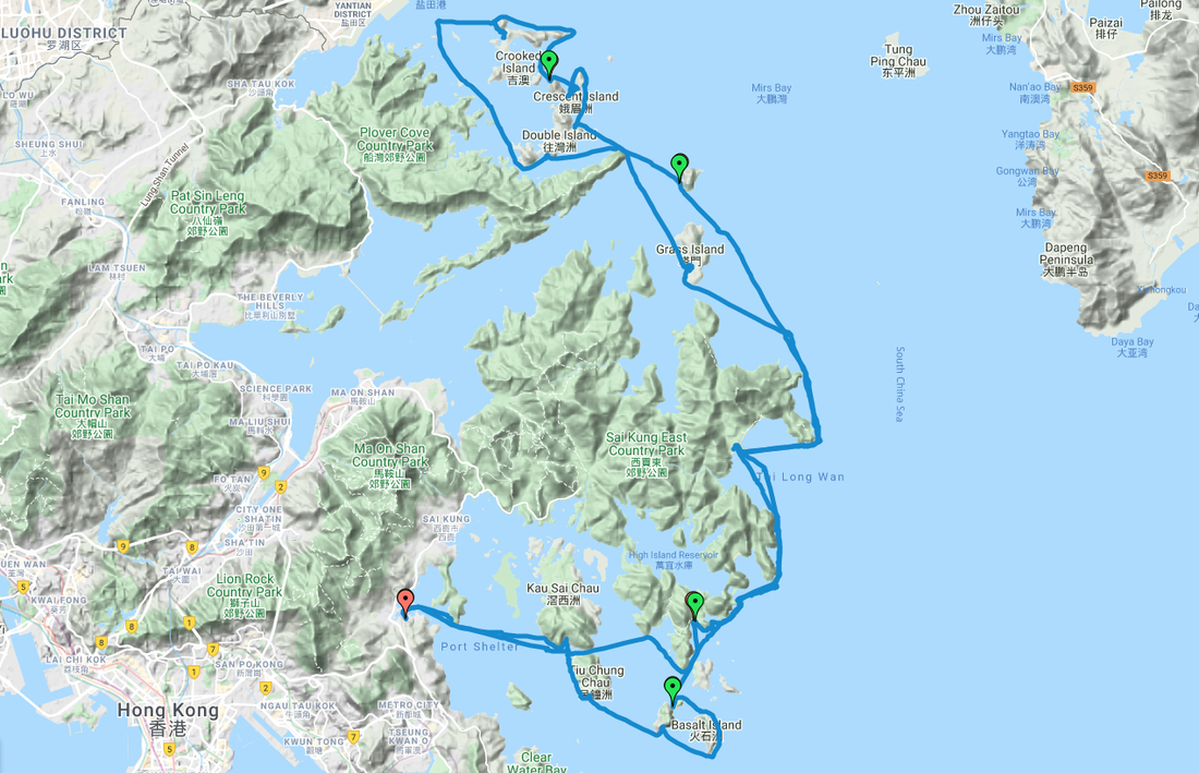
Among the list of Hong Kong’s many regions, the castaway islands of Double Heaven are worth the trip at least once. The adventure to and from Double Heaven is as much an attraction as the being there is. In late March 2020, Wild HK Founder Rory Mackay embarked on a 5 day Kayaking and camping expedition with Mark Agnew from the South China Morning Post. The primary aim was to make a tour of the archipelago which creates Double Heaven. Located in the far flung northeastern corner of the New Territories adjacent to the Chinese mainland, it would require us to cover the best part of 140KM in order to achieve this (starting and finishing in Sai Kung). A world onto its own, Double Heaven by any nations' standards would be considered a remote and relatively pristine place - all the more special for us to visit, given this was in Hong Kong. With all this said however; the adventure (rugged scenery, challenging seas and wilderness beachside camps) either side of exploring Double Heaven was just as exceptional, if not more so. After a shorter half-day on Day 1 in order to get away from Sai Kung town, Day 2 was a mammoth 39KM paddle around the greater Sai Kung Peninsula and across the the mouth of Tolo Harbour to reach Double Island. After a big second day, we earned the privilege on day 3 to go at a more casual pace and explore the various passages of Double Heaven. Time was taken off to explore the charming village of Kat O and restock supplies, before heading south and camping overnight on Port Island. A huge effort followed on day 4 as sea conditions were less hospitable than previous days. It was graft paddling upwind much of the way and most satisfying to arrive at Bluff Island for a short hike and one of the best sunsets I've ever seen (no joke, have seen plenty)! The place was paradise; icing sugar sand, luminescent plankton, no plastic and a decent stash of fire wood. Last day of the trip we made a detour of sorts to explore sea arches and caves on Basalt, Bluff and Jin Islands, before completing formalities.
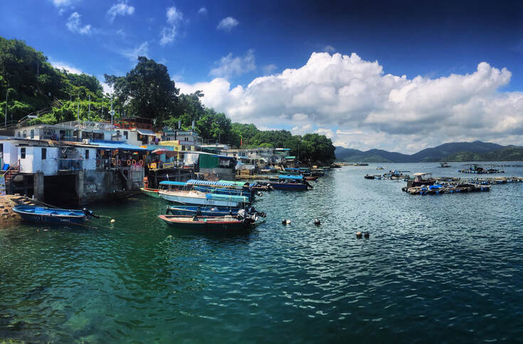
Although we don't take this trip as a guided tour, or necessarily advocate getting to Double Heaven in the manner we did (it is hard work and requires ocean going experience) - I highly recommend for anyone who regards themselves as a real 'Hong Konger' to visit this remote enclave at least once in your life. Other than kayaking or taking your own boat out there, one can take a ferry to Kat O on weekends and Public Holidays. Fancy a day out to one of the most underrated scenic places in Hong Kong? Then the remote little island Tap Mun could be right up your street! Tap Mun or Grass island is located in the North Eastern side of Hong Kong. The local community of Hakka descend is mainly fishermen. You can find temples, camping facilities, basketball court, seafood restaurants and a scenic trail around the island flanked by grass fields.
Take 101M mini bus from Exit A2, Hang Hau MTR station to Sai Kung. From Sai Kung pier, take bus 94 from Sai Kung to Wong Shek Pier, You can also take bus 96R From Diamond Hill MT station. The boat trip from Wong Shek Pier to Tap Mun takes around 30 minutes and costs HK$9.50 on weekdays, HK$14 on weekends and public holidays.
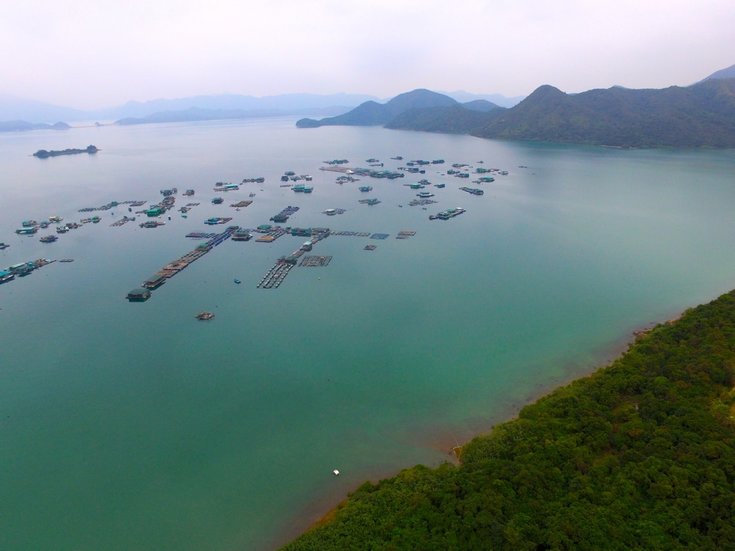
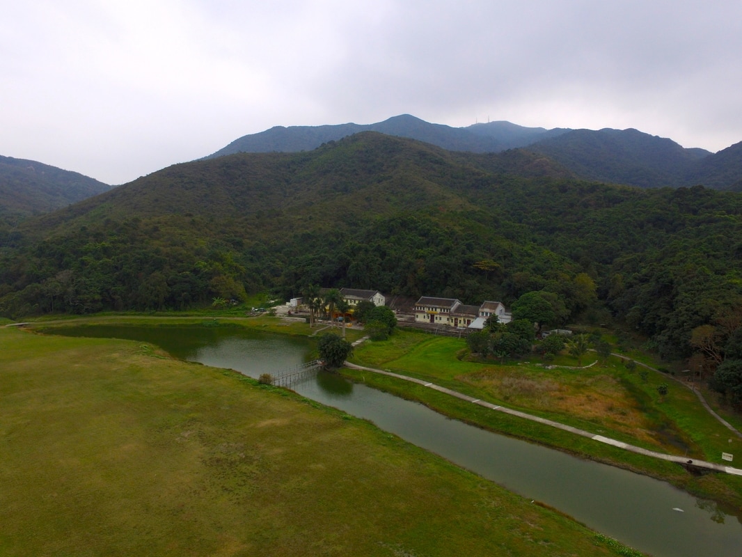
Remote, picturesque and obscure, Sham Chung possesses a little bit of something for everyone. With its traditional hamlets and old woodlands, set in a basin ringed by rolling hills, the Sham Chung region is one of the jewels in the crown of rural Hong Kong. From family friendly outings and historical rekeys, to day hikes and mountain biking, this idyllic enclave has plenty of enticing options to keep you more than entertained for the day. Easily reached, it makes for a convenient full or half day trip away from the city. Nestled within the northern coastline of West Sai Kung Country Park, Sham Chung was once synonymous with being one of Hong Kong’s largest wetland areas. Despite these not existing anymore, it is still a lovely place to visit full of ponds and open grassland, a very rare sight in Hong Kong. By far the simplest way to reach the area is via Yung Shue O. Getting there can be done from either the Sai Kung or Sha Tin side of the surrounding mountain ranges. The 99 and 299x KMB bus routes run between Sai Kung and Heng On MTR/Sha Tin MTR respectively and will deposit you at the head of the access road to Yung Shue O. From this junction it is a 45-minute walk down the single-track road to reach Yung Shue O, so if short on time it is advisable to take a taxi instead ($60 from Sai Kung Town). Once one has reached the village of Yung Shue O, the road stops and the hiking trail begins. Make sure to follow the painted banners in Yung Shue O that indicate the way to Sham Chung and not the wooden signposts. The concrete footpath then winds its way through the village and onto a stunning coastline with views across Tolo Harbour and Ma On Shan. From there, it is a 45-minute stroll along the coastline to Sham Chung ferry pier and then inland to the village grasslands. If you had been tackling this route back at the turn of the 20th century, the footpath would have swept into a shallow lagoon, but then in the 1920s it was drained to create a sizable area of arable land. The fertility of this land subsequently led to the founding of Sham Chung village and the remains of this are still there to see today (occupied by a dai pai dong). However along with many similar villages all across Hong Kong, Sham Chung village met its demise as the territory became more developed and many folk left these small communities in the New Territories for the opportunity to make more money elsewhere. Since then, controversy has surrounded plans by Sun Hung Kai Properties for a golf course and recreation centre in Sham Chung. It appears that the developers went ahead and begun the initial construction of a course without planning consent. Then never followed through after they were unable to rubber stamp the project. In spite of this chequered history, the region is still teaming with some very unique wildlife to keep an eye out for. Extremely rare elsewhere in HK, the Paradise Fish and Brown Fish Owl do well in Sham Chung. There is then the abundance of other birds, reptiles, insects and wild cattle that one would expect to find across the Sai Kung Peninsula. For most folk, it is advisable to simply return from Sham Chung the same way you entered. Taxis can often be hard to come by at Yung Shue O, so make sure to factor in extra time on the return leg in order to walk back to Sai Sha Raod. Once back on the main road, there a plenty of taxis and different buses one can take back to Sai Kung or Sha Tin. Then for those who fancy doing that little bit more, follow the trail inland to reach the far northern extremities of the country park at Pak Sha O and Hoi Ha. This route is suitable for hikers and cyclists alike. All in all, there is a lot to check out in Sham Chung and fun for all involved!
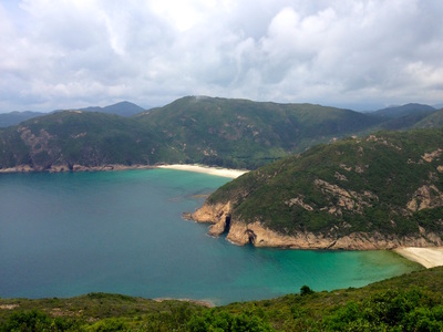
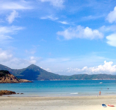
THE SECOND ARTICLE OF OUR MONTHLY COLUMN IN SAI KUNG/SOUTHSIDE MAGAZINES; WE HIGHLIGHT A SOLID SUMMER HIKE OVER SAI WAN SHAN, EXPLORING THE BEST OF SAI KUNG'S BEACHES ALONG THE WAY. "Venturing into the wilds of Sai Kung, the plethora of options open to hikers is astounding! Amongst the area’s finest beaches are Long Ke and Sai Wan. Of the many people who visit these spots, few manage get the sand of both beaches on their feet in a single visit. However it is possible! Essentially this route is simply a segment the MacLehose Trail stage 2, however it is the optimal way to see many of the regions finest beaches in one go; from Long Ke in the south, all the way up to Tai Long Wan in the north. Getting there can take a little time from HK Island and Kowloon, but it is a relatively hassle free trip. Having reached Sai Kung, grab a cab out to the East Dam of High Island Reservoir for around $100; tell the taxi driver to head towards Long Ke and you will know when you are at the dam because it is the end of the road. The drive around the azure waters of High Island Reservoir is very scenic and upon arrival at the east dam it is definitely worth having a look around before charging up the trail. The natural rock formations in the area are very special and if you have a little extra time, exploring the adjacent HK Geopark makes for a fun detour.
The path is very well trodden and the panoramic views from the top of the hill are so good it’s silly. Overlook upon the entire eastern Sai Kung peninsula; encircled by golden beaches, piercing peaks and rugged headlands. The contrasts between the waters of High Island Reservoir and the South China Sea are particularly easy on the eye. Drop back down into the shady valley below, following the MacLehose Trail to Sai Wan Beach where cooling refreshments await! From that juncture one can either return up the paved footpath for 45minutes to reach the Sai Wan access road or continue onwards. The beaches to the north at Tai Long Wan are more expansive and well worth the effort to reach. Heading onwards, the extensive walk around the Sai Kung Peninsula to Wong Shek Pier will take quite a long time to complete and is better left to the more intrepid during the warmer months. But in the cooler months it makes for a truly jaw dropping day on the move away from civilisation. For those who don’t want to bite off more than they can chew, venture as far north from Sai Wan as you feel comfortable with, before returning to Sai Wan. From there, one can hike up to the road or take a boat back to Sai Kung. If hiking back remember to call for a taxi (+852 2729 1199) in advance, as mobile reception in the area can be fickle."
http://www.southside.hk/latest-issue/ |
Categories
All
About usWe are one of Hong Kong's premier adventure & eco tour operators. This is our blog, documenting many of the wild places we explore and show guests. Archives
June 2024
|







 RSS Feed
