|
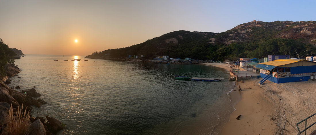
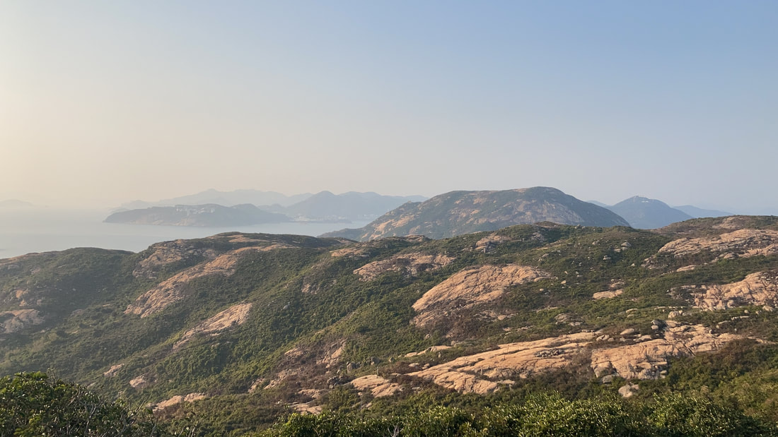
A rugged and windswept isle, Po Toi is fondly known by some locals as the ‘South Pole of Hong Kong’. It is a well frequented location for folk residing on the south side of HK Island, but for many others in Hong Kong that live further north, Po Toi is a relatively unknown quantity. Littered with sculpted granite outcrops and sparse tree cover to obscure the horizon, hiking here is never dull with near constant ocean vistas to stimulate the senses. However, be warned; as with many scenic places in Hong Kong, if you have the opportunity to visit on a weekday then this is my absolute recommendation! On a weekday you will pretty much have the island to yourself, whereas on weekends be prepared to contend with queues for busy boats, trails and cafes.
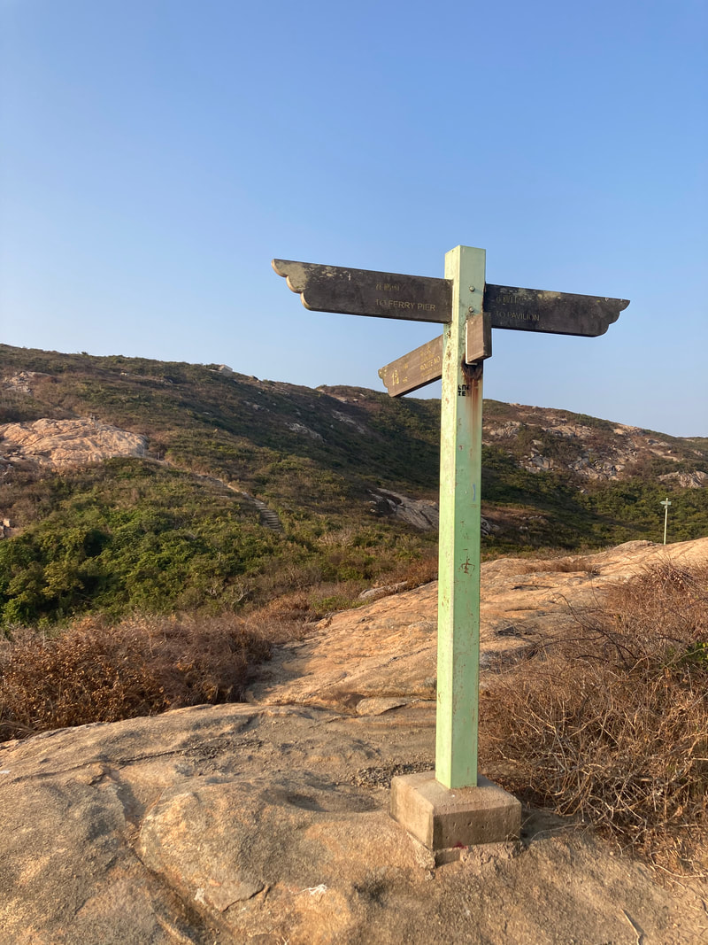
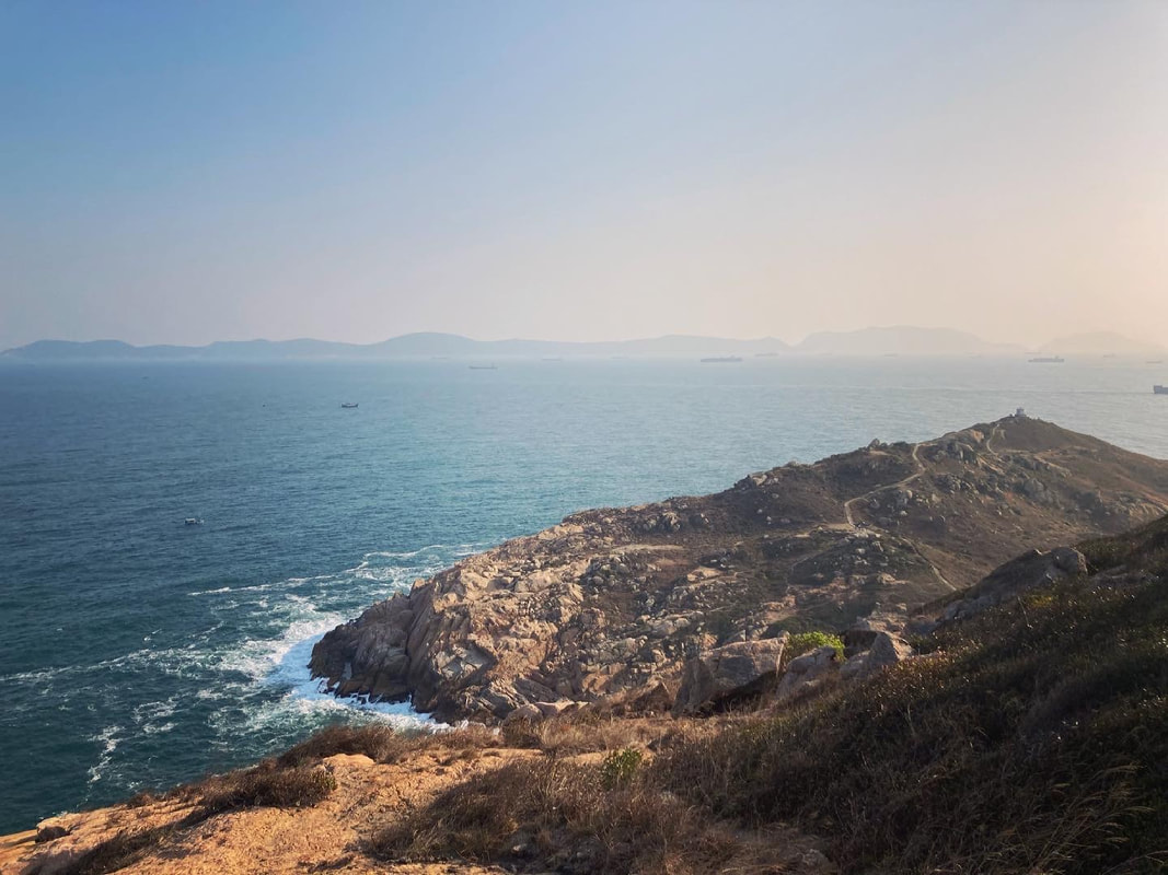
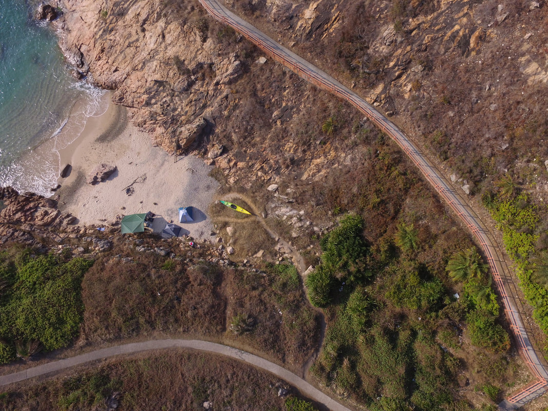
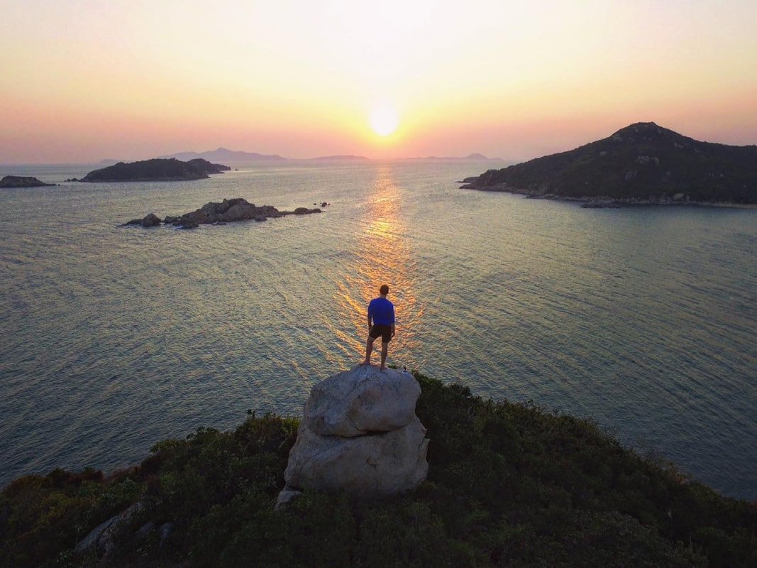
For day trippers there are essentially 2 options when it comes to exploring the islands footpaths; up over the hills then looping back along the coast, or the more conservative option of making a return route following the shoreline. In the summer months, think carefully before hiking over the hills as the route has little to zero shade. The overland trail essentially climbs one main hill then drops back down to the coast, taking an hour or two to negotiate. No matter which of the two routes is taken, one will arrive at Po Toi’s southern promontory where Po Toi Lighthouse is located. For me this is easily one of the most scenic places in Hong Kong, with views out across the Pacific, dotted with various Chinese Islands forming the Wanshan archipelago. This lighthouse trail makes a short loop before rejoining the main coastal route. Back in the village having worked up an appetite, Ming Kee Seafood on the main beach is the primary port of call to grab a feast. Although a handful of smaller restaurants further back into the village are also worth checking out. Be sure to catch the final boat returning to HK Island, unless an overnight camp (double overnighter on weekdays) is the plan. If camping, the headland near Po Toi lighthouse is the best zone to pitch a tent, welcoming in sunsets, sunrises and the best of what breeze might be on offer.
In summary, Po Toi is a fantastic spot for a relaxing day trip, or cute camping option. It’s charming fishing village and stunning headland walks will live long in the memory for those who make voyage south.
1 Comment
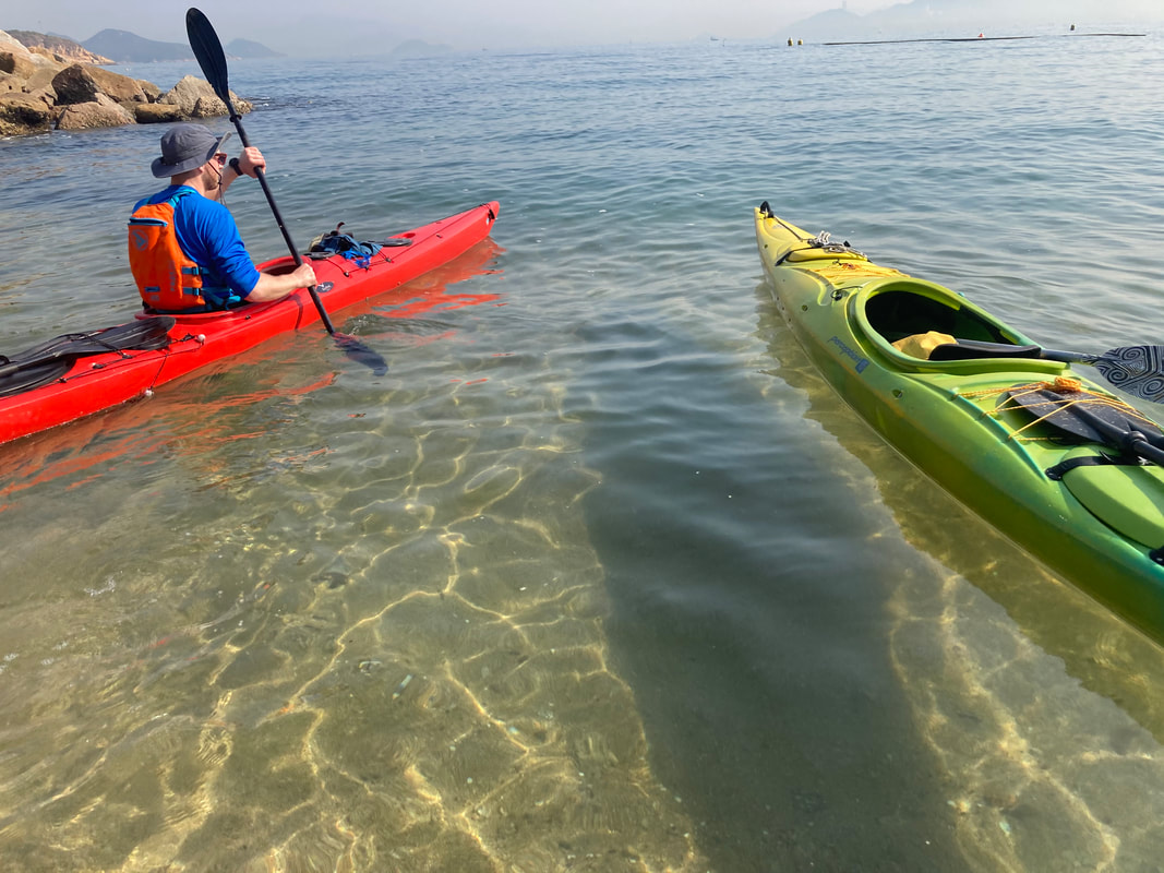
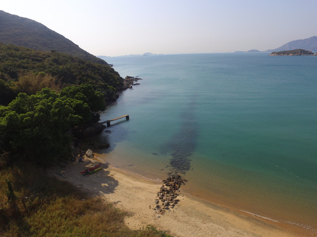
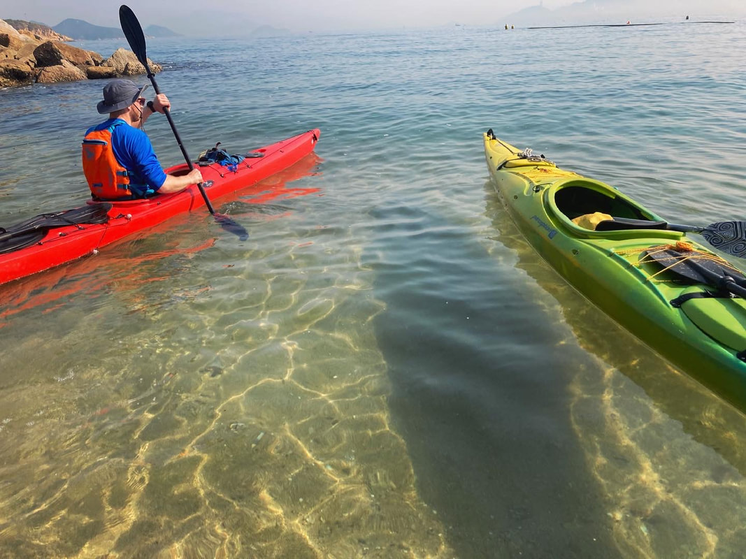
Kayaking around HK 🚣🏼♂️ 🇭🇰 - 260km around Hong Kong, paddling on the outside of all the outermost islands in an epic local adventure. 1st leg - 📌 Sai Kung to Lamma Island - Paddling from Sai Kung to the south, a night was spent camping under the stars on the rugged Ninepin archipelago. From the Ninepins lay an open stretch ahead, across a few easterly swells to Waglan and Po Toi where an afternoon was spent stretching the legs across the Islands’ many footpaths. 2nd leg - 📌 Lamma Island to Mai Po - Was an absolute pleasure to link up bright and early with DJ on the northern shores of Lamma Island and make a circumnavigation (i went about 90% of the way round) of his home Island together! Once at the power station we parted ways and I crossed in unusually serene sea conditions to Cheung Chau. After a comfortable stay overnight, I linked up with Mark with batteries charged and we made rapid progress reaching the Soko Islands with plenty of time to explore the area. Highlights being the abandoned Vietnamese refugee camp and most vivid bioluminescence I have ever witnessed. Winds picked up a bit over night providing a blustery crossing to South Lantau, home to freshwater pools and a big feed at Tai O. Paddling under the bridge to Macau we’d hoped to see pink dolphins, but without luck. This marked a turning point in our surroundings, which from then on became increasingly industrial as we approached and navigated through Shenzhen Bay. The finale of this leg could not have provided starker contrast, a majestic sunset paddle through the tranquil wetlands of Mai Po. 3rd leg - 📌 Luk Keng to Sai Kung - A return to solo paddling for the final leg set in motion a 2 day epic paddle; crossing Mirs Bay twice before rounding Sai Kung Peninsula to complete my loop around HK. The first task at hand was to transport the kayak across HK’s land border with China to Starling Inlet. Tranquil mangroves at Luk Keng soon emerge onto open waters and after crossing 30km over to Tung Ping Chau in light headwinds, I was in position to follow that up with a big paddle the following day. A northerly front swung through overnight and an early start helped to propel me homewards through increasingly tumultuous waters. 50km later, I was home and the trip was done 👍🏼
Info on DJ's series 'Drone & Phone'; https://www.droneandphone.com/ https://www.facebook.com/droneandphone/
Info on Mark's row across the Northwest Passage; https://nwpexpedition.com/ https://www.facebook.com/NWPexpedition Filmed by Rory Mackay & Jack Yao Produced by Rory Mackay #kayakingaroundhongkong #wildhongkong #kayaking #adventure #maipo #shachau #lantau #sokoislands #Cheungchau #lammaisland #winter #paddling #beach #hongkong #stunner #fun #hkiger #discoverhongkong #wild #vista #bliss #hk #wildhk #hkig #photooftheday #gopro #wanderlust #drone #lukkeng #tungpingchau #tailongwan #saikung #mirsbay #starlinginlet #ninepins #waglanisland #potoi There are many spots in Hong Kong that can feel far removed from the city, but are in fact just round the corner or over the hill from town. Then, there are those rare spots that are genuinely far removed from civilization. The Southern waters off Lantau Island are such a locale. Within these waters lie a somewhat forgotten and neglected archipelago; the Soko Islands. A great option for intrepid day trippers, yet still family friendly, little about a visit to the Soko Islands is routine. As there are no scheduled boats you will need to arrange your own, however if you make the effort to venture to this remote area you will be rewarded with a trip back in time! An untarnished landscape bursting with pristine beaches and historical relics lies in wait. If not travelling on your own private boat or charter such as a junk, then (other than kayaking), the simplest way to reach the Sokos is via Cheung Chau. From Cheung Chau you can agree a fee with a local boat operator to drop off and pick up within one day. Incidentally if one wants to kayak there, kayaks can be rented from Cheung Chau too, but it is only advised for more experienced sea farers as you will cross exposed bodies of water. If in any doubt, arrange for a guide. There are 2 main islands that one would spend time ashore on here, Siu A Chau and Tai A Chau. Both have several stunning beaches to enjoy and a small pier that a smaller vessel can safely alight at. Up till the late 1970s, the Soko Islands were home to merely a couple dozen farming families, tending to small scale agriculture and fishing in order to survive. This all changed in the following decades as Tai A Chau became home to an ever-expanding refugee camp housing people fleeing the conflict in Vietnam. Although the Vietnam War came to an end, the ensuing issue of these refugees was never properly resolved. The Soko Island camp was gradually shut down by the government approaching the 1997 handover and inmates were transferred to camps elsewhere in Hong Kong. It’s absolutely incredible to see just over 25 years on, how little of the camp remains. For the most part, concrete foundations and not much else. But a closer look reveals smaller details of what once stood at the site of the camp. The Sokos are an incredible part of Hong Kong to explore. Any adventure here will leave you with great memories and a sound appreciation of the living standards most of us enjoy in that big city, just across the sea.
Sai Kung native Rory Mackay kayaked 250km around Hong Kong, paddling on the outside of all the outermost islands in an epic local adventure. Rory cast off from the shore just 20 metres in front of his house near Sai Kung, and kayaked in three legs; "Paddling from Sai Kung to the south, a night was spent camping under the stars on the rugged Ninepin archipelago. From the Ninepins lay an open stretch ahead, across a few easterly swells to Waglan and Po Toi where an afternoon was spent stretching the legs across the Islands’ many footpaths. Was an absolute pleasure to link up bright and early with an old friend called DJ on the northern shores of Lamma and make a circumnavigation (I went about 90% of the way round) of his home Island together! Once at the power station we parted ways and I crossed in unusually serene sea conditions to Cheung Chau. After a comfortable stay overnight, I linked up with another mate called Mark for the remainder of the second leg with batteries charged and we made rapid progress reaching the Soko Islands with plenty of time to explore the area. Highlights there being the abandoned Vietnamese refugee camp and most vivid bioluminescence I have ever witnessed. Winds picked up a bit over night providing a blustery crossing to South Lantau, home to freshwater pools and a big feed at Tai O. Paddling under the bridge to Macau we’d hoped to see pink dolphins, but without luck. This marked a turning point in our surroundings, which from then on became increasingly industrial as we approached and navigated through Shenzhen Bay. The finale of this leg could not have provided starker contrast, a majestic sunset paddle through the tranquil wetlands of Mai Po. A return to solo paddling for the final leg set in motion a 2 day epic paddle; crossing Mirs Bay twice before rounding Sai Kung Peninsula to complete my loop around HK. The first task at hand was to transport the kayak across HK’s land border with China to Starling Inlet. Tranquil mangroves at Luk Keng soon emerge onto open waters and after crossing 30km over to Tung Ping Chau in light headwinds, I was in position to follow that up with a big paddle the following day. A northerly front swung through overnight and an early start helped to propel me homewards through increasingly tumultuous waters. 50km later, I was home and the trip was done." To see more, you can also see the below article about this trip covered by the South China Morning Post; https://www.scmp.com/sport/outdoor/extreme-sports/article/3124652/kayaker-paddles-250km-around-outside-hong-kong-filling?utm_source=copy_link&utm_medium=share_widget&utm_campaign=3124652 A look ahead at all the fantastic opportunities to adventure the wilds of Hong Kong with us in 2021! Hiking, cycling, kayaking, mountain biking and stream trekking are what we do best :) Hong Kong Island packs a lot of beach into a small land. While the north-side districts of Central
and Western, Wan Chai and Eastern are crammed with glass and steel skyscrapers and towering apartment blocks, the Southern district boasts bay after bay of golden sand and calm waters that are safe for a splash and swim with family and friends year-round. Grab your luggage and mark these locations down to plan for a day of outdoor adventure with your loved ones during the summer months. Golden Beach Located at the ever-popular family-friendly Gold Coast Resort, Golden Beach is a picture- perfect spot that boasts a 545-metre of clean, pristine sand imported from Hainan Island, complete with fantastic sea views towards Lantau Island. Besides lounging on the beach, you can also take a stroll along the promenade or set up a picnic on the spacious green lawns in front of the Gold Coasts Piazza. How to get there: Take the bus 962B from Causeway Bay (Moreton Terrace) or bus 252B from Tsim Sha Tsui (Middle Road). Tai Long Wan If you’re after a secluded day of relaxation, Tai Long Wan is the place for you. Lying on the eastern side of the Sai Kung Peninsula, this remote, beautiful bay is made up of four white-sand beaches, namely Sai Wan, Ham Tin, Tai Wan, and Tung Wan. Hilly formations separate the beaches, but if you wish to explore them all, you can easily hike from one coast to another as the trails are marked. The bay is also a popular camping destination, where you can rent tents and sleeping equipment at the Ham Tin Beach to spend the night beneath the stars for a truly remarkable outdoor experience. How to get there: Take the MTR to Choi Hung and leave via Exit C1, then take the green minibus 1A to Sai Kung Town. Then, take a speedboat from Sai Kung Pier to Sai Wan or Ham Tin Wan. Or, you can hike from Sai Wan Pavilion (approx. 40 mins) to reach the Sai Wan Beach. Long Ke Wan Beach Hong Kong’s answer to the Maldives, Long Ke Wan Beach is a perennial favourite among sun- seekers for its turquoise waters and spectacular rocky landscapes. The tranquillity and natural beauty of the beach are unmatched, offering all holiday vibes and stunning backdrops you need for a fantastic shot. Facilities are limited on the beach, and there are no restaurants or shops, so be sure to bring enough water and supplies. How to get there: You can take a taxi from Sai Kung town to the East Dam of High Island Reservoir, followed by a 20-minute walk. Alternatively, you can hike the Maclehose Stage 2 trail from the East Dam to Long Ke village. Cheung Sha Beach The lure of a trip to Cheung Sha’s upper and lower beaches on Lantau Island isn’t limited to its 3km long, wide stretch of fine powdery sand. The area is also filled with a plethora of restaurants and bars serving up fresh seafood dishes and cocktails, meaning you can stay a little longer to enjoy the golden hour with a satisfied stomach. How to get there: Take the ferry from Central Pier 6 to Mui Wo, then take bus 1 or 2 to Cheung Sha. Hiking is incredibly good for the mind, body, and soul. Many people are taking hikes through trails
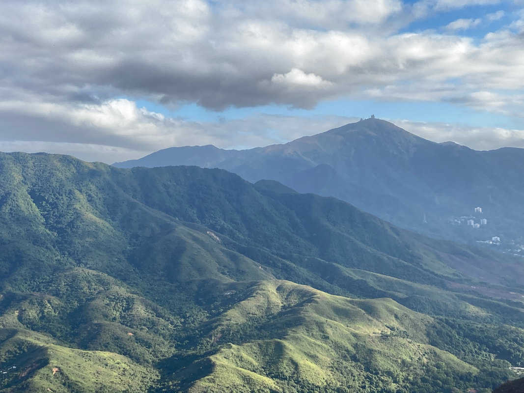
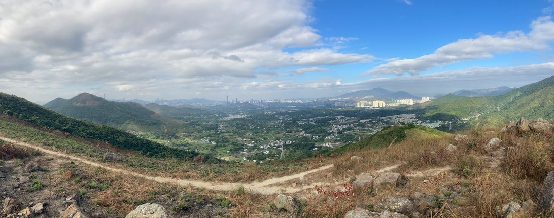
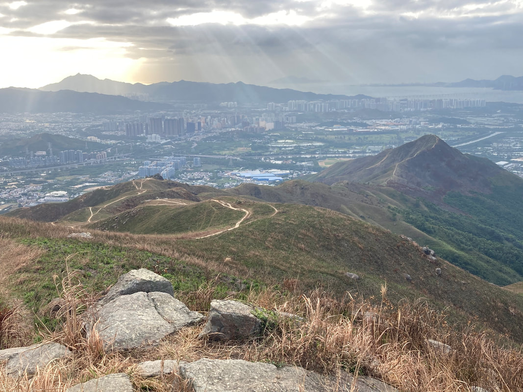
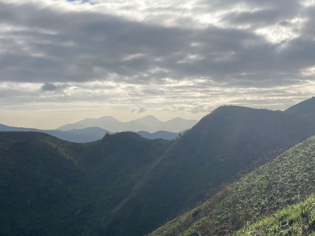
near the home as a way to clear their minds, exercise, and spend some time in more natural surroundings than the towns and cities that we have become used to. Winter is a great time to hike if you want to see some amazing seasonal sights, like snowy hills and mountains and deer migrating across the countryside. It is important to be prepared for sudden weather changes when winter hiking. Temperatures can drop quickly, especially when the sun gets low in the sky. Rainstorms, sleet, snow can also spoil a fun winter hike. Here is a quick guide to some winter hike essentials that will help keep you warm and dry when hiking in the winter months. With just a few extra precautions, you can enjoy hiking through the great outdoors all year round. Strong, Waterproof Hiking Boots Whatever the weather or season, you need a strong pair of hiking boots if you are going to have a successful trip out in the great outdoors. Hiking boots help protect your feet and strengthen your ankles. In the winter, it is important that your boots are waterproof. It is highly likely you will be caught in a rain shower or maybe even some snow on a winter hike. If the moisture isn’t falling from the sky, you will often encounter it on the ground as streams swell in the winter, and the ground deals with the extra rainfall. Here are some hiking boots that are great for both urban and rural hikes. Winter hiking boots that are strong, waterproof, and have soles with a good amount of grip are essential winter hiking gear. A Lightweight, Insulated, and Rainproof Jacket When hiking, it can be difficult to balance your internal temperature with the environment. Hiking can be very physical at times, yet you also want to be warm and protected from the elements in the wintertime. Some winter hikers make the mistake of taking one large and thick jacket to keep them warm, but very quickly they can start to overheat. The best way to dress for hiking is to use layers that you can remove or add depending on how you feel and the weather on your hike. When winter hiking, you should always pack a lightweight rainproof jacket that has some insulation. You can carry this with you in a backpack and use it when the weather takes a turn for the worst. Oversized Rainproof Pants Hiking in the winter can be a lot of fun and allow you to see sights and events that you wouldn’t see at any other time, such as animal migrations and meteor showers. The weather in winter can change suddenly, however, and you need to be prepared to give yourself the best protection possible if you are stuck in a sudden storm. Carrying a pair of oversized rainproof pants is a good idea when winter hiking. You can put these on in a hurry, and by being a size or two too big, you should be able to get them on without having to remove your boots. These are great for giving your lower body protection in severe weather and are lightweight so they take up very little space in your backpack. Winter is a great time to hike, as long as you are well prepared. Your hiking boots are always your most important piece of equipment, so make sure yours are ready for winter. The weather can be very challenging and difficult to predict in the wintertime so you always need to be ready for a sudden change in order to stay warm and dry while you find shelter. The hills of far Northwestern Hong Kong may not be so well known compared to other areas, but Lam Tsuen Country Park and its surrounds are as dramatic as any other HK landscape and ought to receive more recognition. The Country park is dominated by two primary peaks called Kai Kung Leng and Tai To Yan. Conquer this rugged range of hills and one will witness some of the territory’s finest views; gazing down upon Shek Kong on one side and absorbing the immense sprawl of Shenzhen on the other. Meanwhile clearer days atop the summits reveal glimpses across to Lantau Island and the expansive Waters of the Pearl River Delta. Not only is arriving at these mountain tops exhilarating, but the hiking to be had either side of them is most enjoyable. In my opinion Kai Kung Leng or “Rooster Ridge” is a more beautiful and attainable hiking trail, so I am going to focus on the hill of Kai Kung Leng here. But for those who are much more intrepid, then her sister peak Tai To Yan is also very spectacular and can be done instead of Kai Kung Leng, or in conjunction to create a twin peaks route. Lunchtime or early afternoons make for an ideal time to set off if doing just the one hill in the cooler months, ensuring pleasant temperatures and sunset vistas from the summit (however leave first thing in the morning if wanting to do both hills). The route up is most easily accessed from Kam Sheung Road or Yuen Long MTR Stations by taxi, ask for Fung Kat Heung Road, the trailhead is located between a basketball court and the Miu Kwok Monastery. If opting to travel by public transport, then there is the 603 minibus you can catch from Yuen Long to the same starting point. Once at the trailhead, simply crack on and follow the ridgeline trail upwards. Something you’ll notice quite soon that sets this hill apart from most in HK is how grassy and windswept it is. It translates to very tough hiking in the heat, but for wintertime it is simply sublime with nonstop views and plenty of scope to size up the route ahead. Having clambered over a subsidiary peak at 335 meters above sea level, the gradient eases for a period before reaching Rooster Ridge Summit at 585m. Having conquered this beast of a hill, take a perch and soak up the relaxing vibes. Few mountains in HK offer a 360-degree panorama of such variety; aside from the Tai Mo Shan massif, you’re the surveyor of all things in Western HK. On clearer days, the views of Shenzhen are jaw dropping. The sheer size and scale of this city becomes clearly evident from this vantage point, as one can see all the way from Lo Wu in the east to Nanshan in the west. To think that 40 years ago there was next to no development there almost defies logic. Take care heading down afterwards as the path can be quite skiddy at times due to its exposure and lack of stairs. The return route down is otherwise fairly simple to navigate. Keep following the hiking trail directly along the ridgeline and you’ll be back to civilization in an hour or two. Compared to the route up, the return trail is more direct in its descent. Once you reach Fan Kam Road, there is the 77K bus route and various minibuses that facilitate travel to the closest MTR stations of Sheung Shui and Yuen Long. If wishing to do twin peaks as mentioned before, then nip across Fan Kam Road and follow the trail which heads east up to the main ridge line of Tai To Yan. From that ridge, there are a multitude of different paths one can pursue to drop back down towards Fanling, Tai Po or Shek Kong.
Kai Kung Leng and Tai To Yan are classic winter routes almost anyone can have a crack at, yet keep even the most seasoned of hikers honest. Although the Northwestern New Territories may not be especially well known amongst many hikers, the area has a few nice surprises for those who venture out. Its enchanted forests below and spectacular vistas above will no doubt leave one wanting to revisit for another go. Rugged, windswept and diverse, Tung Ping Chau possesses a little bit of something for everyone. From family friendly walks and pristine white sandy beaches to rock formation adventures and historical rekeys. No matter how you wish to play things, this will be a full day outing at the very least. There are only two ways to reach Tung Ping Chau, either by private/chartered boat or by taking the public ferry (Weekends and Public Holidays only) from Ma Liu Shui in Sha Tin. Departing from Ma Liu Shui: 09:00am (or 15:30pm Saturdays only) and departing from Tung Ping Chau: 17:15pm. Fare: $90 return ticket). The ferry journey from Ma Liu Shui takes 1.5hours to complete, so sit back and relax enjoying the views of Tolo Harbour. A landscape of tranquil channels lined with red rocks (unique to this part of HK), before emerging upon the open waters of Mirs Bay. Located in the heart of the Tung Ping Chau close to the pier, lies the only major settlement of note on the isle and definitely deserves a pit spot upon arrival. After a refreshing drink and bite to eat, one could easily spend the best part of a couple of hours strolling the adjacent Northeastern beaches, interspersed by crumbling Hakka houses and shade yielding Banyans.
The unique geology of Tung Ping Chau on the other hand is a much more enduring attraction to spend your time exploring. The best way to discover the island is by circumnavigating the Ping Chau Country Trail, which at 5km typically takes around 2hrs to walk in one go without any long breaks. However, stopping along the way to explore all the incredible sedimentary rock formations on show, or delving into the interior of Tung Ping Chau is what this Island is all about. Possessing the youngest rocks in Hong Kong, there are numerous laminated coastal shelfs and sea cliffs to witness. Be sure to catch the final boat leaving the island for return to Sha Tin at five o’clock, unless taking your own boat back or camping overnight is more your thing. Camping in HK can be an awesome experience and Tung Ping Chau is a superb illustration of this. Beware that there is a lot of ambient light coming from China at night, so try to orientate your camp towards Mirs Bay and get more breeze in the process.
Among the list of Hong Kong’s many outlying places, the castaway isle of Tung Ping Chau is worth the trip at least once. The adventure to and from it, is as much an attraction as the being there is. If you fancy exploring a peaceful area that many folks don’t know about or overlook within Hong Kong, then a day trip out to Shing Mun Reservoir could be in order.
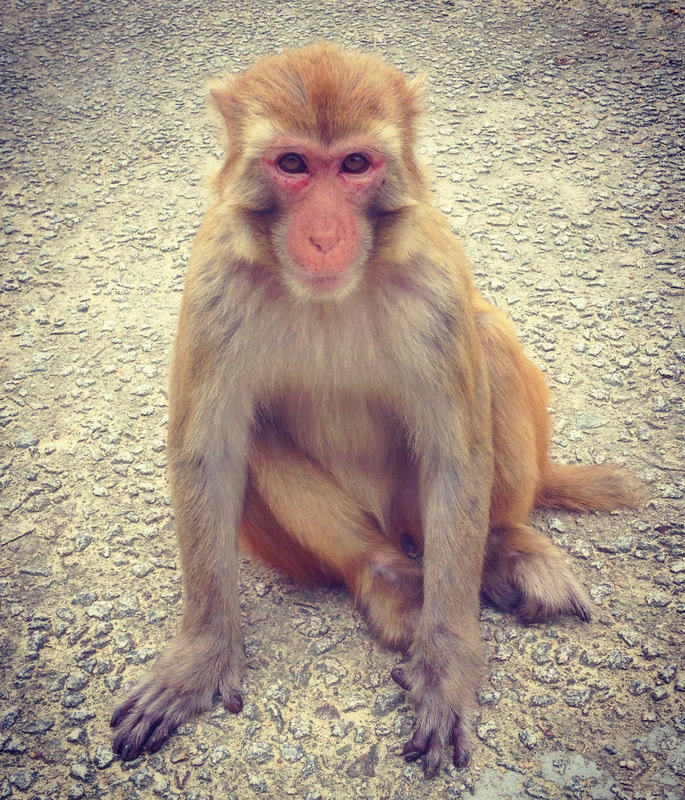
The simplest way in (other than driving) is to head over to Tsuen Wan MTR station and take exit B1. From the station it’s a five minute walk to the 82 green minibus, which will take you to Shing Mun Country Park terminating immediately below the grassy banks of Pineapple Dam. It is recommended you enjoy a meal or prepare food to bring with you before embarking on a visit, as there are no food vendors at the park other than a small kiosk at Pineapple Dam. Arriving at the Pineapple Dam bus stop, keep an eye out for some of the delightful wildlife on offer in HK, especially on the quieter weekdays. You could well be confronted by many monkeys, invariably a troop of Rhesus Macaques. Although the Rhesus species is native to Hong Kong, the macaques found today are believed to be re-introduced. During the construction of the Kowloon Reservoirs, the apes were deployed to the surrounding areas in order to combat the spread of a plant that tainted the water supply. They can roam in large numbers and enjoy the area around entrance areas, as the rubbish bins and increased human presence provides the chance of finding a meal. There are signs at the park entrance spelling out the dos and don’ts in regards to the monkeys. From experience, simply be relaxed. Don’t approach the monkeys with food and they will mind their own monkey business. Direct eye contact and sudden movements won’t endear you to them either. With those unpleasantries out of the way, the monkeys are great fun to observe and can be extremely photogenic! There are a couple of ways to negotiate Shing Mun; the simple way and the adventurous way.
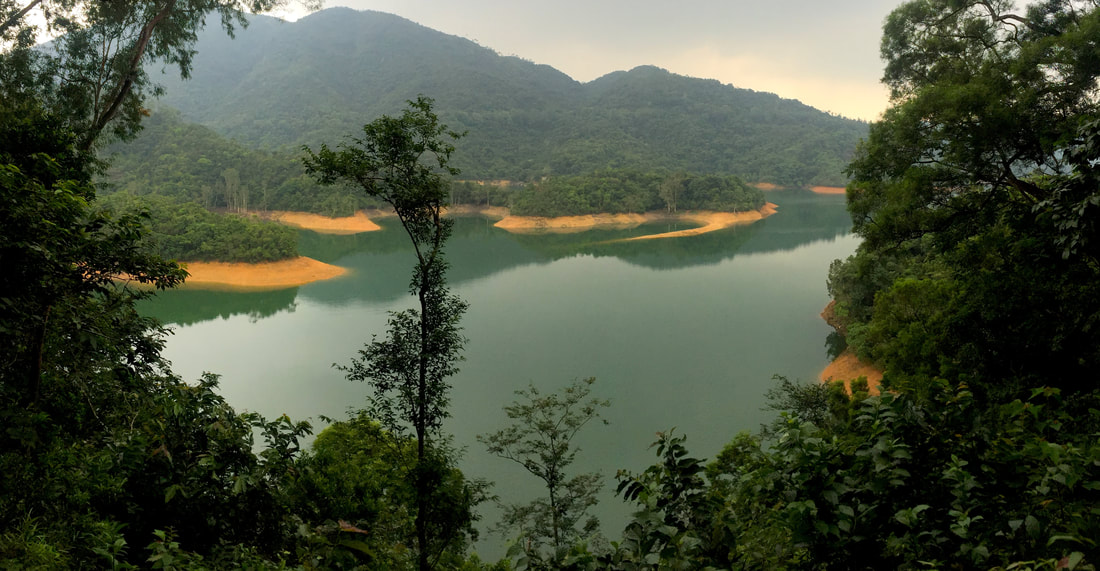
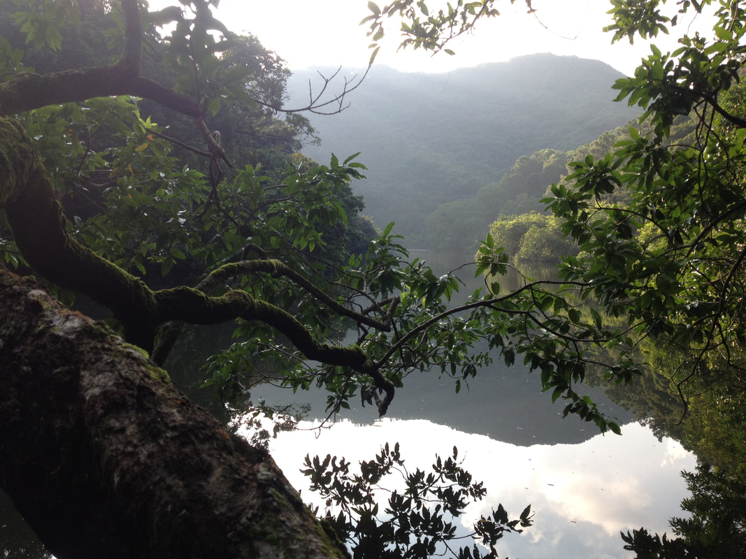
Every now and then, a gap in the foliage may reveal framed views of Tuen Wan, Kowloon and enjoy the iconic backdrop of HK Island behind on a clear day. Back at the reservoir, this final leg of any route you take is particularly pleasant, walking along a flat paved surface under large shady trees that cloak the water’s edge. It is most definitely worth it to have a breather down here, soak up the tranquil atmosphere and capture relaxing views across the water.
Heading back to Tuen Wan from the country park is equally simple as finding your way in. This discreetly tucked away corner of rural HK has an incredible amount on offer for those who enjoy venturing into the wild, escaping to Shing Mun provides a peaceful retreat at the doorstep of those wishing to find space for reflection or satisfy a burning urge of wanderlust. |
Categories
All
About usWe are one of Hong Kong's premier adventure & eco tour operators. This is our blog, documenting many of the wild places we explore and show guests. Archives
June 2024
|






 RSS Feed
